 Hacienda Yaxkukul
For sale · Cuzamá — Homún · Yucatán, Mexico
Hacienda
Yaxkukul
145 hectares of forest with a private cenote and a main house dated 1760, in the heart of Yucatán’s Ring of Cenotes.
The opportunity
Few properties in Yucatán combine colonial history, a private cenote and room to build at scale.
Yaxkukul is a 145-hectare henequen hacienda 45 minutes from Mérida, in the middle of Yucatán’s most visited cenote area. It has a main house and nine historic structures, a cenote already fitted with decks and stairs, and a complete LiDAR survey of the land.

I · The hacienda
Since 1760
Above the main house, an inscription reads “Año de 1760.” At that time, estates in the region were cattle ranches. During the henequen boom, the “green gold” that made Yucatán one of the world’s great fiber producers, Yaxkukul was a henequen hacienda. Agrarian records from 1920 and 1937 list it alongside its neighbors Chunkanán and Kampepén.
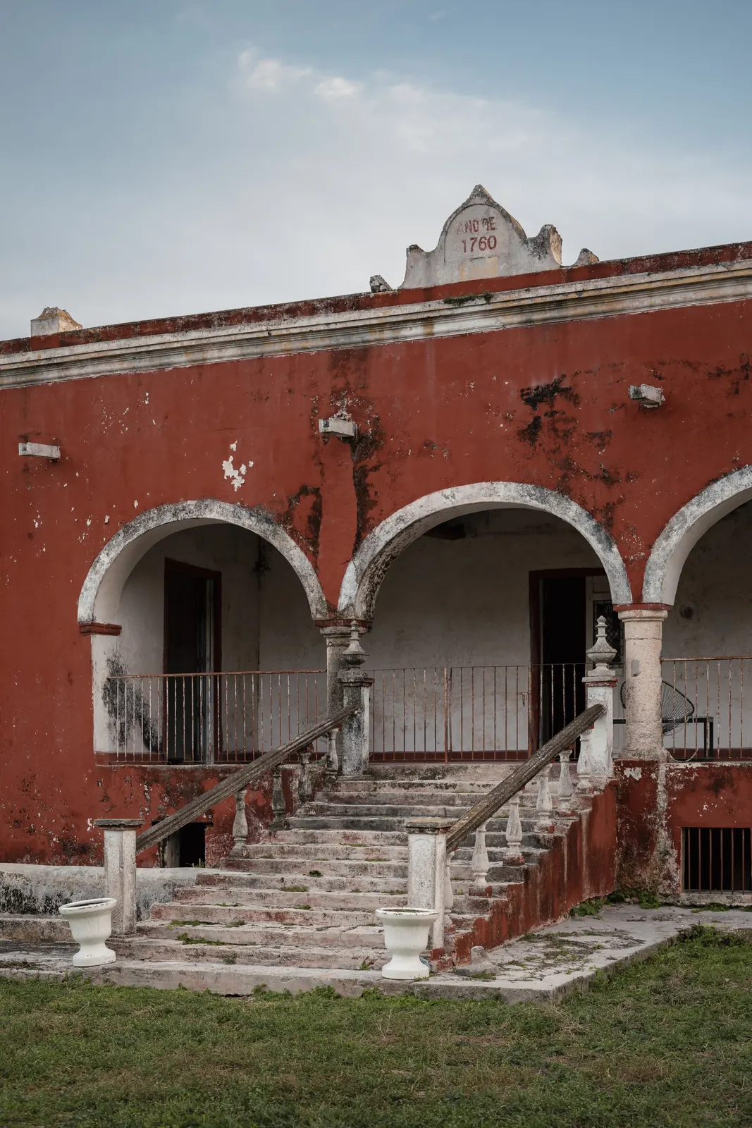
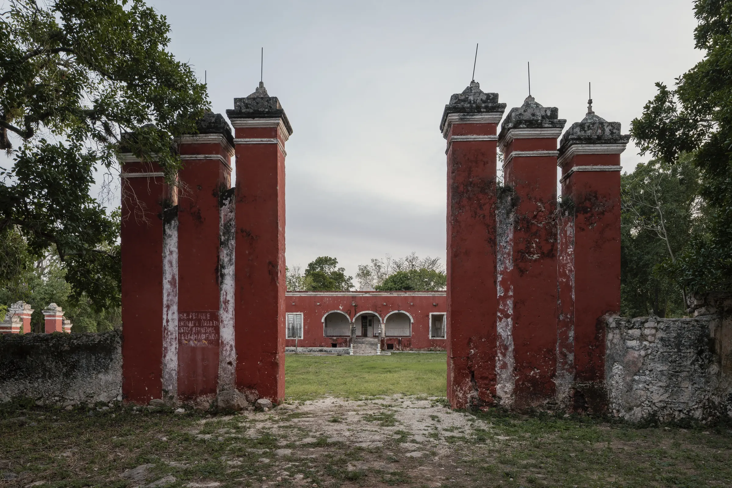
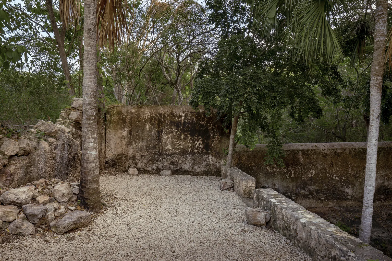
Red ochre walls, colonial pillars, carved stone arches.

II · Cenote El Ingenio
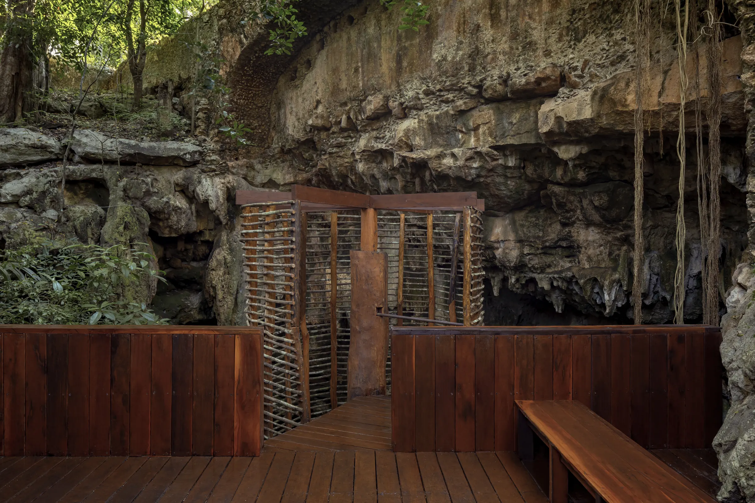
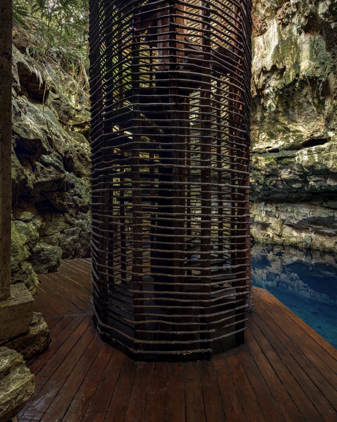
A private cenote, already built out
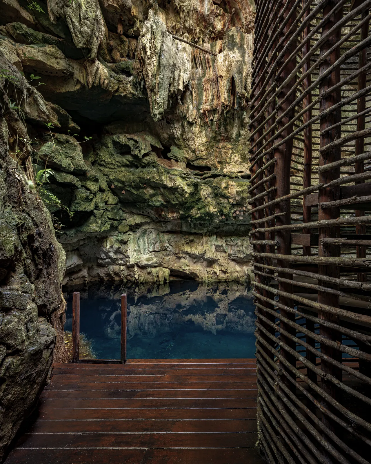
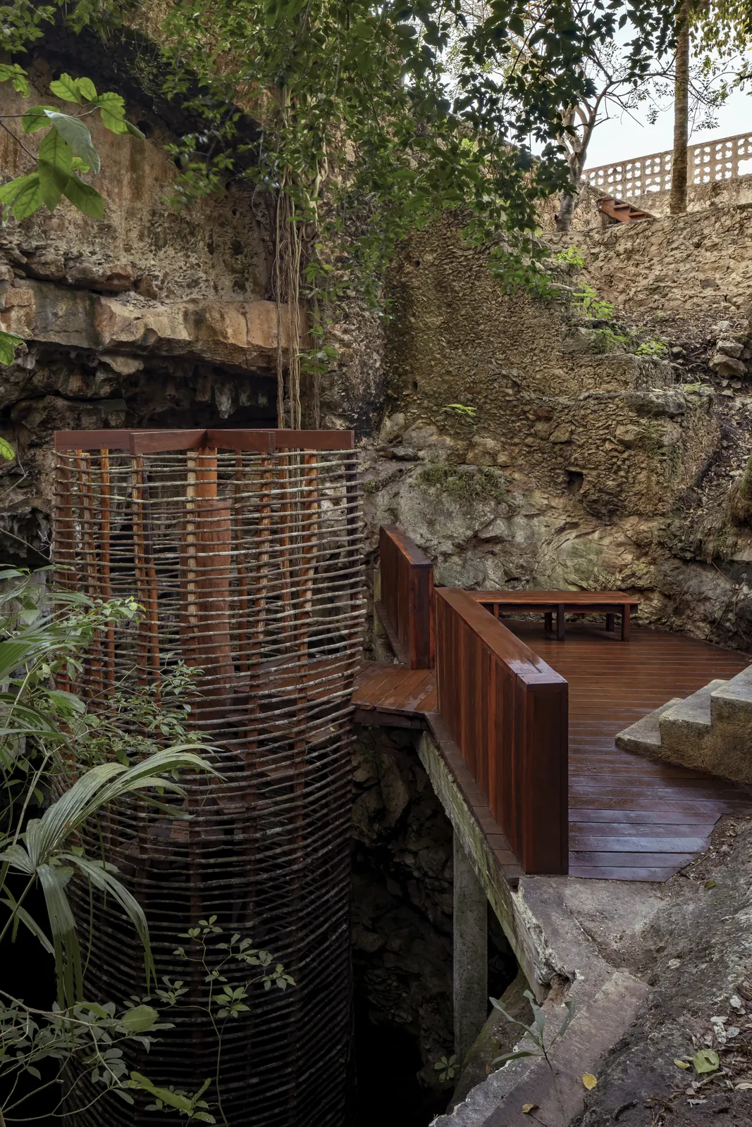
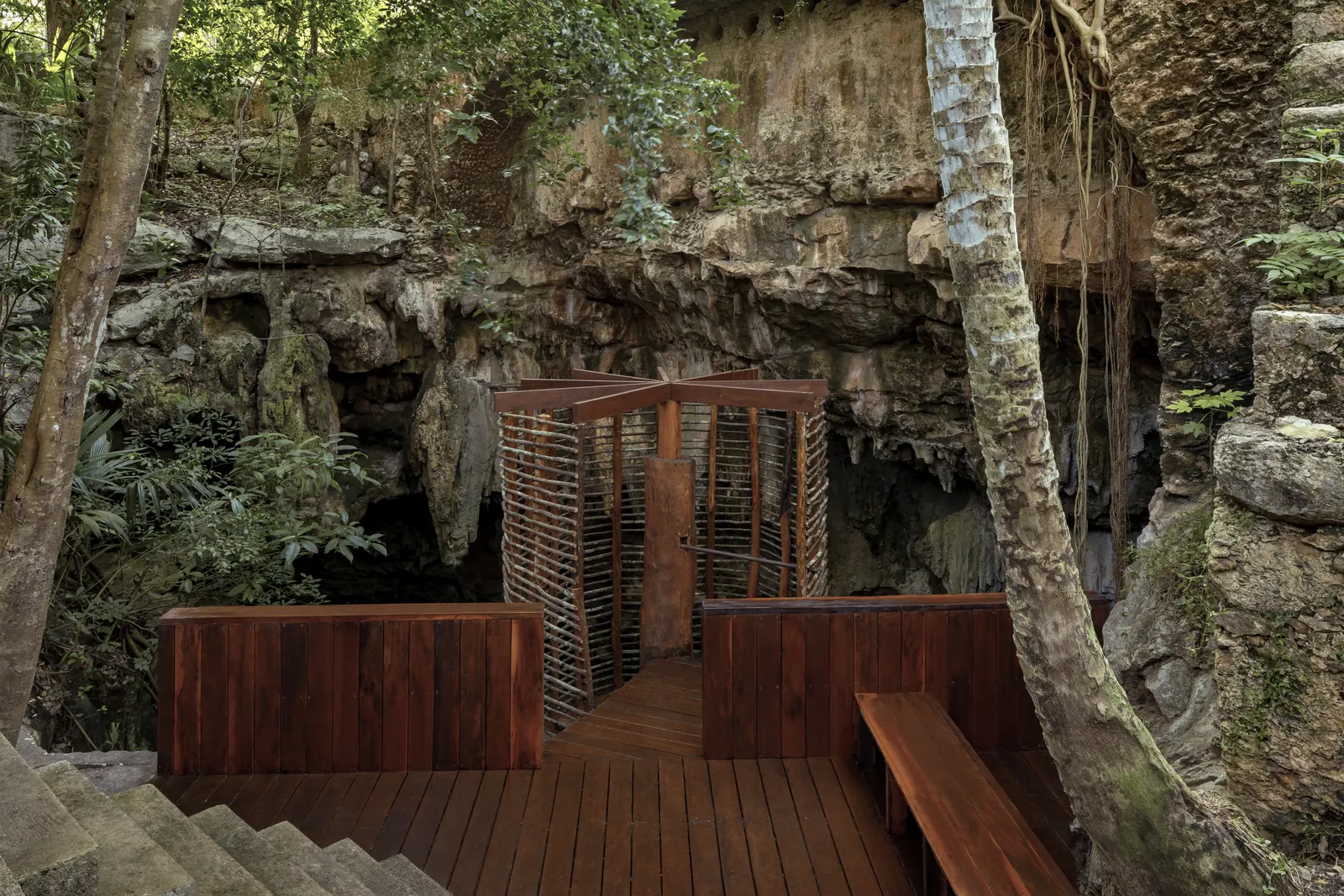
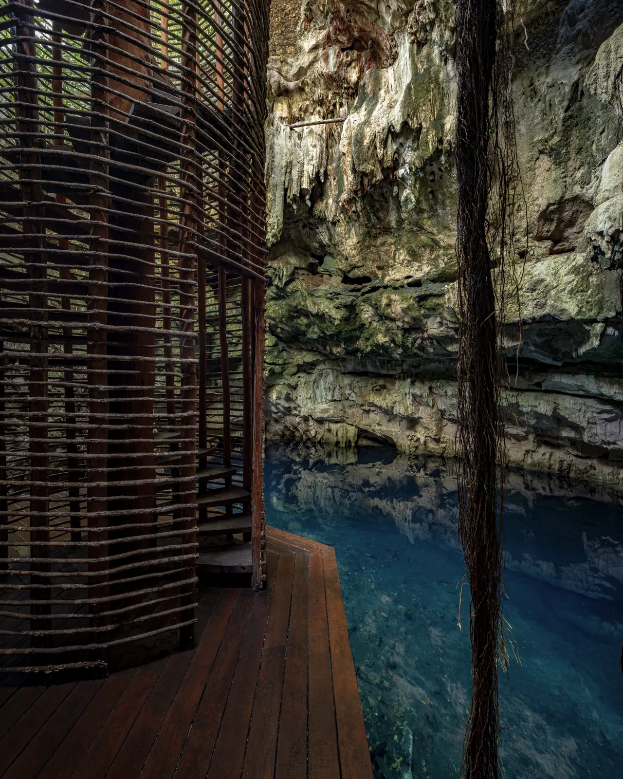
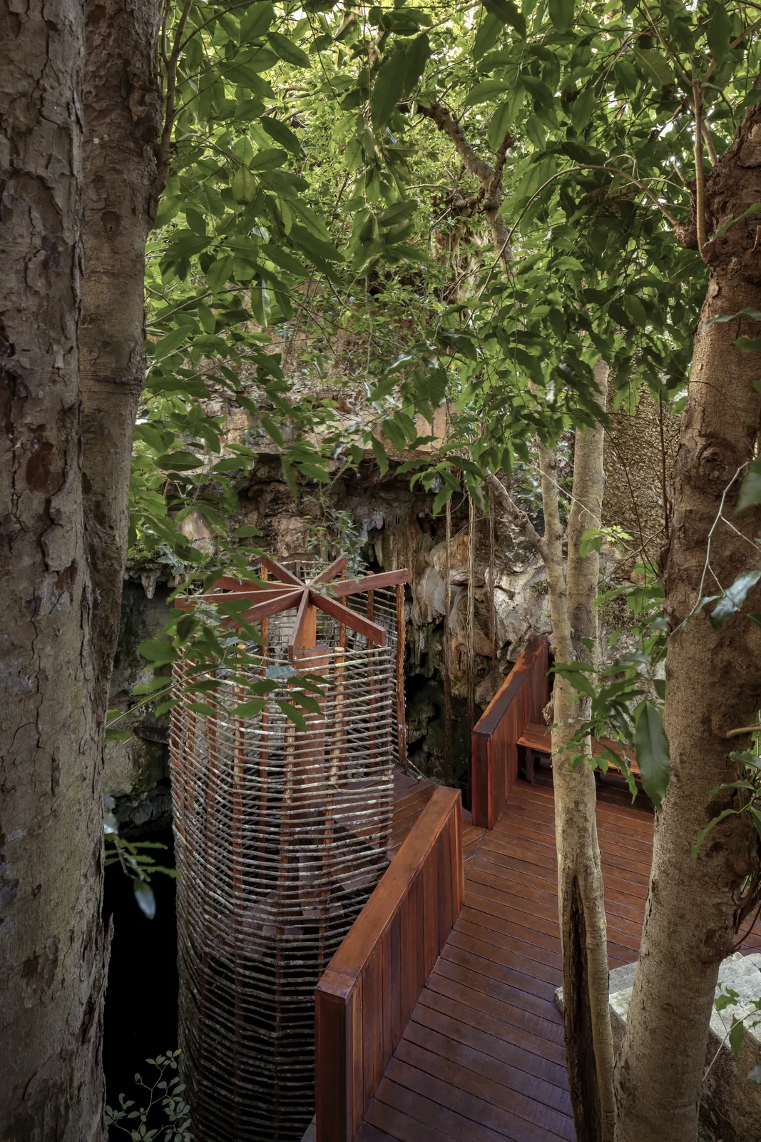
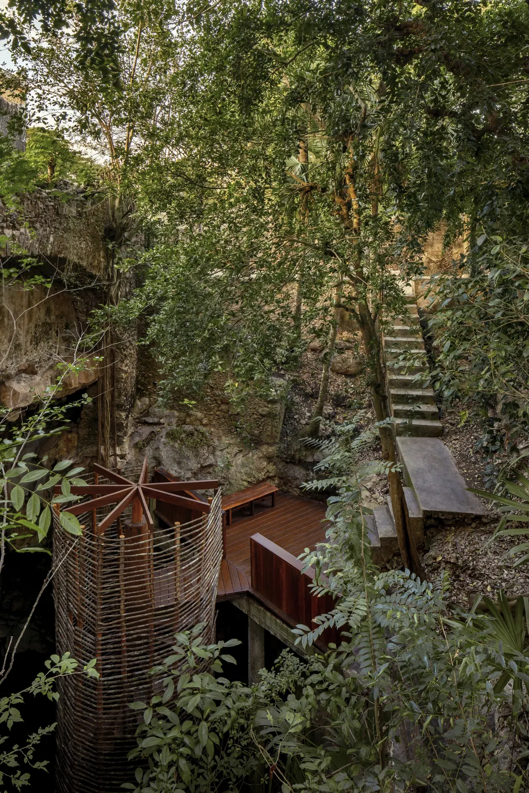
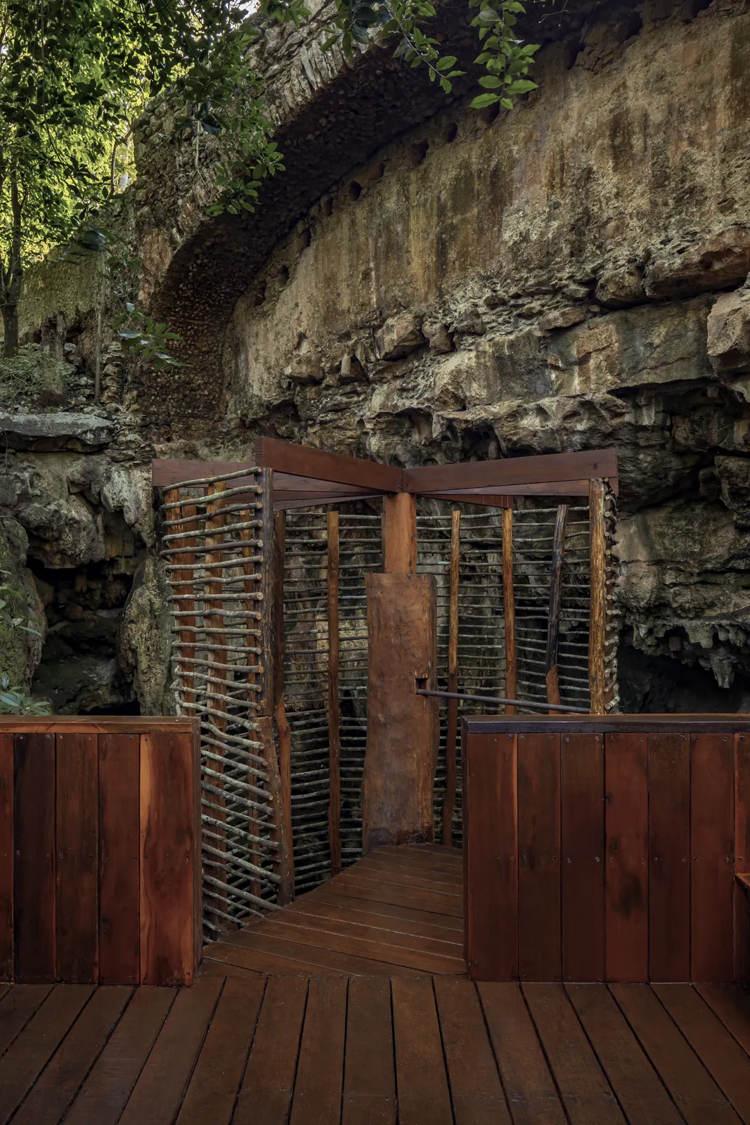
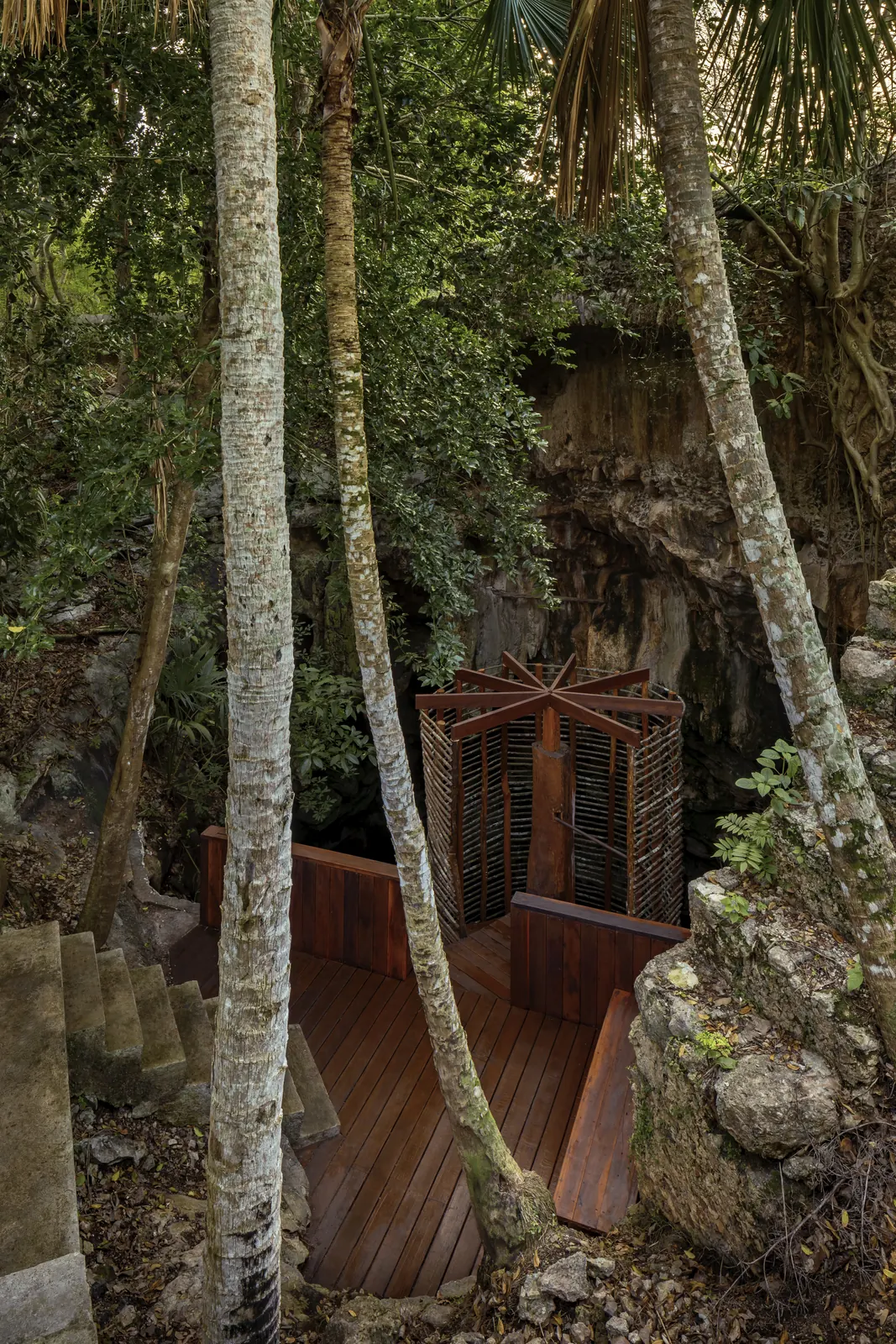
Turquoise water beneath a vault of stalactites. The cenote already has tropical-hardwood platforms, a spiral stair wrapped in woven vine and a viewing deck with benches. It sits a short walk from the hacienda’s main buildings.
Gallery · Cenote and hacienda
Scroll →
III · The land · LiDAR survey
26 sinkholes.
And we have barely started exploring.
The LiDAR flight measures the ground beneath the forest canopy. It found 26 karst depressions; the deepest matches Cenote El Ingenio. Five others are deeper than 3.5 m and may be caves or cenotes yet to be explored.
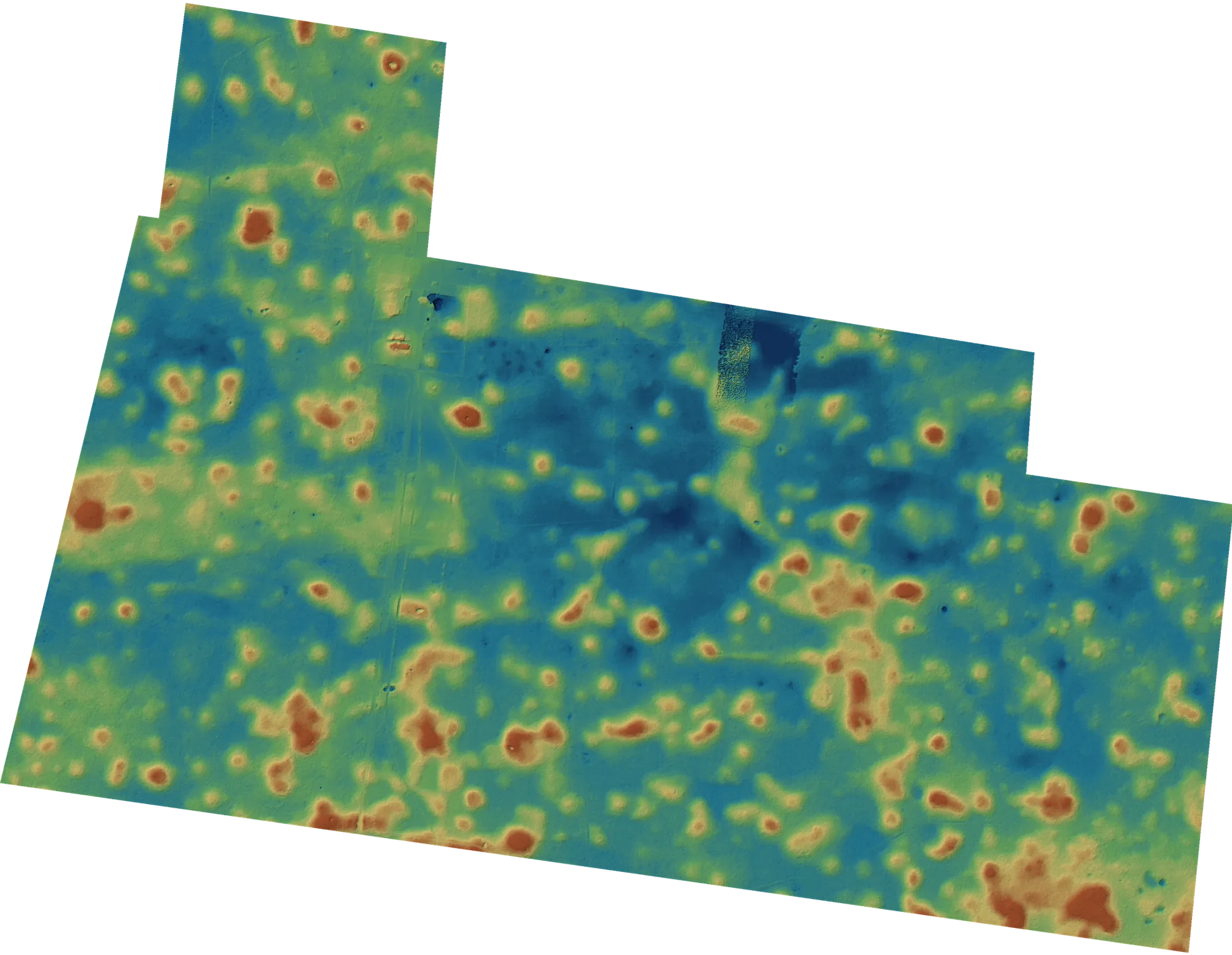
Sinkholes were detected by remote sensing and should be verified on the ground. Depths are approximate.
IV · Location
In the heart of the Ring of Cenotes
The hacienda is 2.7 km from the Chunkanán cenotes and 5 km from Homún, Yucatán’s most visited cenote area. Around it are haciendas turned into luxury hotels, Maya cities and two Tren Maya stations.
Straight-line distances from the hacienda.
Cenotes and nature
- Chunkanán cenotesChelentún, Chacsinic-Ché and Bolonchoojol, reached by horse-drawn cart on old henequen rails2.7 km
- Cenote Santa Rosa, HomúnOne of Homún’s most visited cenotes4.4 km
- HomúnYucatán’s leading cenote destination4.8 km
- CuzamáCenote town and municipal seat5.0 km
- Laguna YalahauBlue lagoon of 800 × 400 m, with Maya remains10.5 km
- Hacienda Mucuyché cenotes18th-century hacienda with the Carlota and Azul Maya cenotes32.4 km
Haciendas and luxury hotels
- Hacienda Sotuta de PeónWorking henequen hacienda and living museum with a cenote28.7 km
- Hacienda San José · Luxury CollectionHenequen hacienda converted into a luxury hotel34.7 km
- Hacienda Xcanatún · Angsana18th-century hacienda with 54 suites and a spa53.8 km
- Chablé YucatánTwo MICHELIN Keys · No. 8, The World’s 50 Best Hotels 202559.0 km
Archaeology and towns
- Mayapán archaeological siteThe last great Maya capital (1200–1450)18.1 km
- AcancehPyramid of stucco masks and the Palace of the Stuccoes20.1 km
- Izamal · Pueblo MágicoThe Yellow City and its 1561 convent39.4 km
- DzibilchaltúnTemple of the Seven Dolls and the Xlacah cenote52.9 km
- Uxmal · UNESCO World HeritageJewel of the Puuc Route, World Heritage since 199661.6 km
Getting here
- Tren Maya · Teya-Mérida stationMérida’s station, opened in 202333.9 km
- Tren Maya · Izamal stationConnection to Valladolid and Cancún35.2 km
- MéridaCapital of Yucatán44.8 km
- Mérida International Airport3.9 M passengers in 2025 · direct flights to the US and Canada45.4 km
Sale dossier
Information for buyers and developers
Section
01
| Area | 145 ha (LiDAR) · low deciduous forest |
|---|---|
| Title | Private property |
| Buildings | Main house and 8 structures · ~900 m² |
| Water | Private well and cenote |
| Power | Off-grid · well suited to solar |
| Access | Paved road via Kanasín–Acanceh–Cuzamá · interior track |
| Location | Between Cuzamá and Homún, Yucatán · exact location on request |
| Mérida center | ~45–50 km · 50 min |
|---|---|
| MID airport | ~55 km · 55 min |
| Tren Maya · Teya-Mérida | ~40–45 km · 40 min |
| Cuzamá · Homún | ~8–10 km · 15 min |
| Chunkanán cenotes | ~3 km |
| Izamal | ~60 km · 1 h |
| Valladolid | ~120 km · 1.5 h |
| CUN airport | ~300 km · 3.5 h |
Section
02
Buying and market
| Restricted zone | Outside · ~72 km from the coast (the limit is 50 km) |
|---|---|
| Ownership | Direct title in the foreign buyer’s name, with a Foreign Ministry (SRE) permit |
| Bank trust | Not required |
| Closing costs | ~5–7% of value (≈2% transfer tax, notary, registry) |
| Safety | Yucatán ranks 1st in Mexico for feeling safe walking at night (INEGI, ENVIPE 2026) |
|---|---|
| MID airport | 3.9 M passengers in 2025, an all-time record |
| Tourism | 2.67 M overnight visitors to Yucatán in 2025 (+11%) |
| Cenotes | Homún and Cuzamá have over 650 registered cenotes |
| Climate | ~26 °C annual average · rains June–October · inland |
| Solar | ~5 kWh/m² of daily irradiance |
For reference only. Buyers should confirm these points with their own notary.
Section
03
Available documents
- LiDAR surveyElevation model, contour lines and sinkhole map (DWG / PDF / KMZ)
- Forest inventory53,514 georeferenced trees, with height and crown size
- 2019 site analysisZoning, elevation, trails and existing structures
- Architectural studiesAvailable to qualified parties
- Professional photographyHigh-resolution files
The full technical dossier is shared with qualified buyers and brokers. Request it on WhatsApp →
See it
in person.
WhatsApp +52 999 121 2117 · Brokers welcome · We speak English and Spanish